The problem
You're looking at an Airbnb. The listing says "near downtown." What does that mean for your trip? Can you walk to dinner? Is the famous café a 5-minute stroll or a 30-minute Uber? Google Maps will show you all of it — and none of the answers you actually need.
The fix
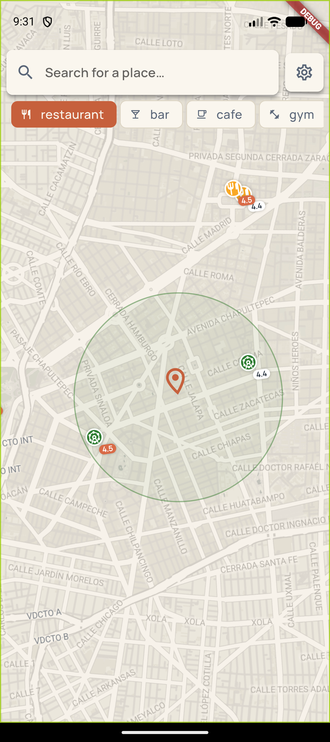
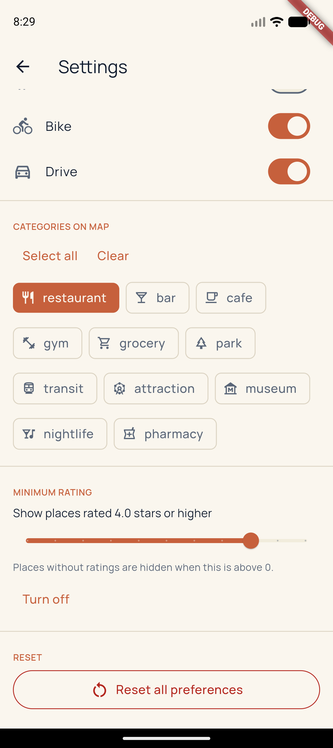
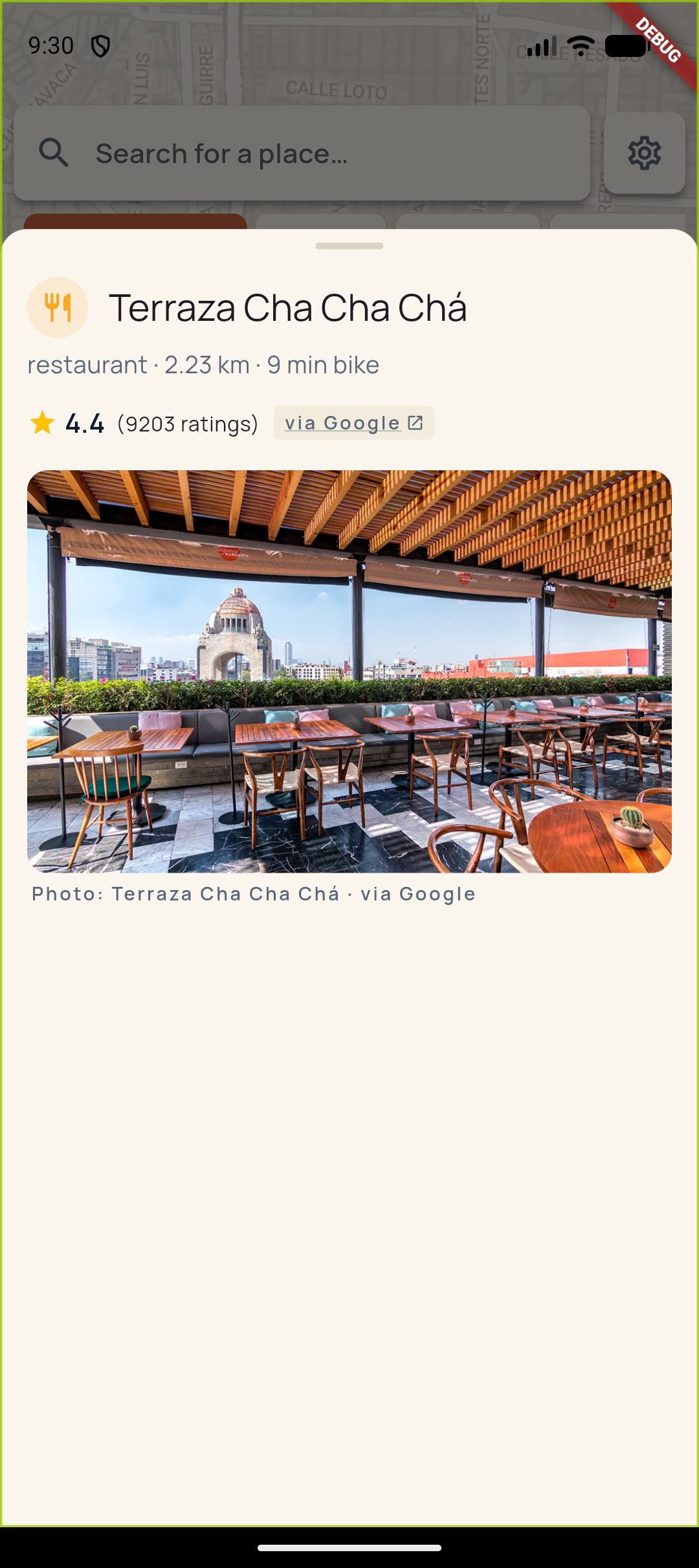
Drop a pin. We render three concentric rings — walk, bike, drive — tuned to your pace and mobility. Every restaurant, bar, café, park, and museum within reach shows up on the map, with star ratings from Google so you only see places worth caring about. Toggle the rating filter and the noise drops away.
What's different
- Reachability-first. Rings, not arbitrary radii.
- Rated by default. Set a minimum star threshold and the map shows only places worth visiting.
- Activity discovery. Tours and tickets anchored to specific places, not generic "things to do in Lisbon" lists.
- Honest sources. Tap any place to jump to Google Maps for photos and reviews — we don't pretend to replicate what's already great.